FOSS4G in the Solar System
Alessandro Frigeri
Istituto Nazionale di Astrofisica - Rome, Italy
FOSS4G, Firenze, 22-28 August 2022


Operating System: GNU/Linux
Flight software: F' (https://github.com/nasa/fprime)

Since the mid-1980s, geographic information systems have become valuable tool used to support a variety of city and regional planning …
- Wikipedia
Geo-spatial
![]() ?
?
“The beginning of wisdom is the definition of terms.” Socrates (470 – 399 B.C.)


Exploration always needs maps


The Planetary Data system (PDS) was established by NASA in 1989 to deal with concerns that the data being returned by scientific satellites was in danger of being lost.

![]() Integrated Software for Imagers and Spectrometers
Integrated Software for Imagers and Spectrometers

https://github.com/USGS-Astrogeology/ISIS3

- 2006 - added PDS3 / ISIS2 read support
- 2007 – ISIS 3/4 read support added
- 2014 – VICAR read support added
- 2017 – ”Geo”FITS and ISIS 3/4 writer
- 2017, 2019 – PDS4 (reader/writer)
- 2019 – VICAR re-write (reader/writer)
Thanks to Trent Hare, Sebastian Walter, Chiara Marmo
starting from version 8.2 (2021):

EPSG:4326
IAU:49900
IAU:30100
Planetary Scientist' FOSS4G Desktop
| Software/Service | License | Gen./Spec. |
|---|---|---|
| ISIS | CC0 | Spec. |
| NASA Ames Stereo Pipeline | Apache 2.0 | Spec. |
| Craterstats | BSD 3 | Spec. |
| QGIS | GPL | Gen. |
| GRASS GIS | GPL | Gen. |
| WMS@USGS (200 layers) | - | Spec. |
| STAC@USGS | - | Spec. |
Community efforts


TM8 - Joint OSGeo / OpenPlanetary Townhall on Open Science
Thu, 11 Apr, 2019 - 19:00–20:00 - EGU congress in Vienna, Austria
Collaborative mapping efforts


MMGIS (Multi-Mission Geographic Information System)
 https://github.com/NASA-AMMOS/MMGIS


FOSS4G in Space Exploration:
The Future

Program: ARTEMISMission: ARTEMIS 1
Launch: August 29th 2022

Credit: ESA
Alessandro Frigeri alessandro.frigeri@inaf.it
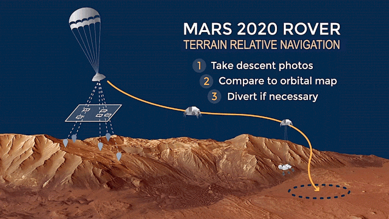
See Trent Hare's "Helping to Land a Mars Rover using FOSS4G Tools" tomorrow at 14:15 Room Onice